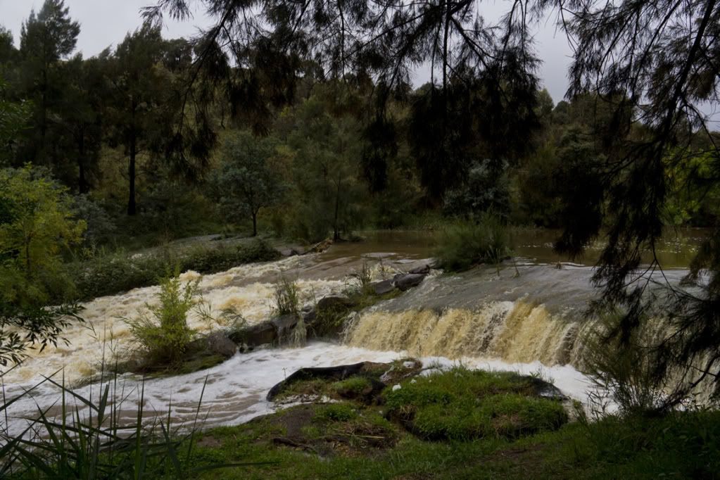
This small creek used to run slowly through the central portion.
I wouldn't drive my 4wd across this section of a local bike path. That water was moving pretty darned fast.
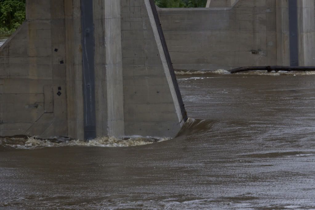
There are some ledges that we used to climb up OUT OF THE WATER to get to, to sit and have a rest while swimming, somewhere under all that water going under the Tharwa Bridge.
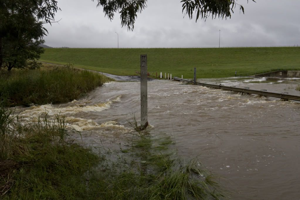
The Point Hut Crossing road used to go from right to left, just in front of those background trees.
The Point Hut Crossing Road vanishing into the depths.
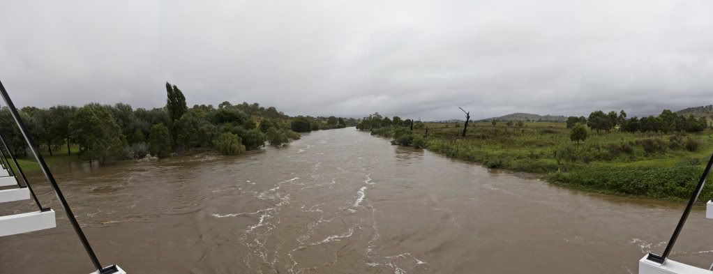
A quite poorly stitched attempt at a pano to show how much wider the river now is at the Tharwa Bridge. It normally flows mostly between the two central supports, with small amounts going around the sides.
Another somewhat dodgy stitching attempt to show the width of the river under the Tharwa Bridge at the moment. The submerged trees to the left are the usual picnicing area, where many a fine Christmas Lunch has been had by the family.


 Thanks useful information:


 Reply With Quote
 Add To Bookmarks


